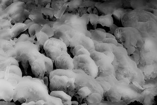
I went out for a short hike this morning to Hercules Glades (and only fell once!). The sunrise from Coy Bald wasn't very interesting, but there were some lingering ice formations from the cold nights earlier in the week.
Splattered ice at the base of a small waterfall
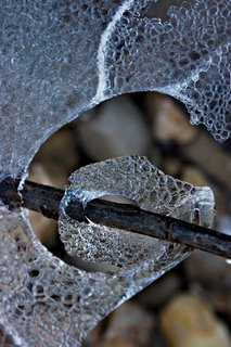
Delicate ice formation around a branch on Long Creek
Ice, rocks and a leaf on Long Creek
December 5 - McDaniel Lake
November 5 - Paddy Creek Wilderness Area
I went for a short hike (about 11 miles) in Paddy Creek Wilderness today. It was windy, humid, and kind of warm. The color was great, but with the trees moving around so much it was hard to get good pictures.
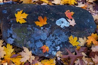
This is the ground underneath of a maple tree where the wind wasn't blowing too hard.
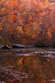
The next two are from late afternoon on Paddy Creek and ironically, not too far from where I parked.
This is the ground underneath of a maple tree where the wind wasn't blowing too hard.
The next two are from late afternoon on Paddy Creek and ironically, not too far from where I parked.
October 25 - Southeast Missouri
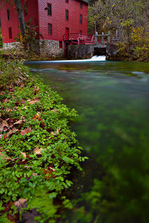
I stopped in Eminence for the night so I could be at Alley Spring early. Again, cloud cover kept any morning color away, but it was still an enjoyable dawn. My camera isn't very far from the water in this picture, and the wide angle lens gives a little distortion to the mill.
The spring, and the back side of the mill.
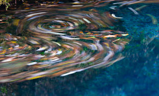
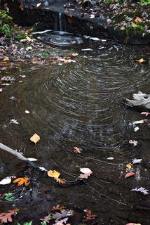
Blue Spring was the next stop. There were leaves sitting on top of the water that were moving very slowly due to water and wind movement. I made a long exposure to see if it would make any interesting patterns. Interesting?
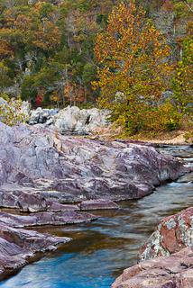
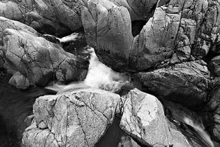
Another first visit was to Johnson Shut-ins. I've always meant to go, but it's kind of out of the way. It was a lot of fun scrambling around the rocks with a 50 pound pack of camera gear, but I didn't fall in once!
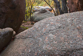
Elephant Rocks are so close to the shut-ins that I had to drop by for a couple of pictures.
The last stop of the day was at Pickle Springs Natural Area just East of Farmington. I never did see Pickle Springs, but Pickle Creek had a tiny bit of water running into this little pool.
October 24 - Southeast Missouri
Vacation! I got a late start on Monday, but finally got in gear and headed down towards Southeast Missouri to take a few pictures. Mostly, these were places to which I'd never been so I didn't know what to expect.
The first stop was to Grand Gulf down around Thayer. October is not the best time to see this place, I guess. If it weren't for a few puddles (mere feet in diameter) it would have been completely dry. I though it was interesting but not very pretty, and even though I hiked and scrambled the length on both the top and down deep in the bottom of the gulf, nothing really came from it photo-wise. I bet it would be really impressive in the spring after lots and lots of rain.
While I was in the area, I dropped by Mammoth Springs just over the Arkansas state line. This is a detail picture of the falls.
Near dusk, I ended up at a place called McCormack Lake. Cloud cover kept most of the color away.
October 22 - Pedestal Rocks, Arkansas
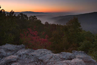
The camera club made a trip to Pedestal Rocks down in Arkansas, but I decided to get there before dawn and see what the sunrise would look like. The sky wasn't that interesting, and the fall foliage isn't quite at peak, but it's always fun to watch the sun rise.
These first two are from the sunrise.
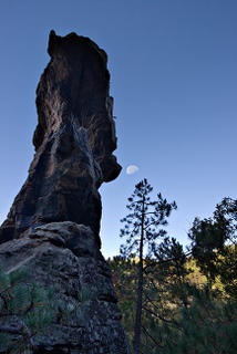
Pedestal rocks get their name from stranded rock formations near the edge of the bluff line. Here's one of them viewed from below.
There a lot of caverns under the bluff line that look like pedestals in progress. This picture is from inside one of them looking out at the trees.
October 15 - Warsaw
October 13 - Springfield
October 9 - Additional Vacation Pictures
September 30 - Great Sand Dunes
These dunes have such dynamic shapes, I really want to see them in black and white so you'll have to excuse my excessive use of that time-honored medium. These are the kind of images that I'll tinker with for a long time before I get them "right".
After the sun came up, I headed out onto the dunes for the approximately 500 foot climb to the top. This first picture is from the bottom, looking up.
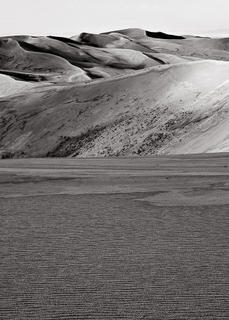
Getting closer to the top, I put my tripod in the frame for this picture.
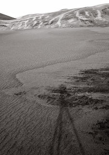
It was a cloudy morning, but clearing. On top of the dunes, I pointed my camera toward the mountains in the North. I think this is Mount Herard at 13,297 feet.
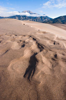
Loking towards the NorthWest, the dunes had some interesting patterns
Later in the afternoon, after a rest, and with the sky now completely clear I headed back out for the long climb onto the top of the dunes.
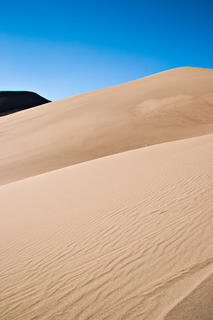
On top again, the late afternoon sun started casting some long shadows across the tops of the dunes. I was about two hours early for the sunset, so I just sat around taking it all in.
The same location, but with a little more foreground detail.
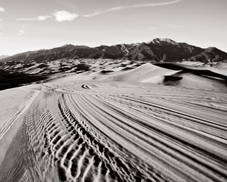
Once the sun went behind the San Juan mountains, the shadows went out like a light - literally within the span of a few seconds. I was changing lenses when it happened, and took this picture soon afterwards.
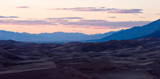
There was nothing left to do but to hike back before it turned completely dark (made it with a few minutes to spare). Here's the scene looking towards the South as I was nearly off of the dunes.
I headed for Denver the next morning, and then back home after 2,950 miles of travel.
September 29 - Great Sand Dunes
I packed up camp on Thursday morning and headed South toward Great Sand Dunes National Monument. It's somewhere I've always wondered about. It was so unique that I'm glad I went. Hiking on the dunes can be challenging. First, there's no real feel of how steep a particular path is until you get close - and then you realize that it's very steep and the going gets tough. While there's usually a line of compacted sand that's pretty easy to walk on, there are many sections of loose sand that makes you struggle to gain ground. I usually ended up with boots full of sand quickly after I started walking.
During the first afternoon, I hiked a little way onto the dune but was a little wary of a huge threatening thunderstorm. This is a panoramic view of the thunderstorm (composed of 4 images) and a portion of the dune. It never did rain back at camp, though.
September 28 - Rocky Mountain National Park
After arriving in RMNP on Monday afternoon, I set up camp in the Moraine Park Campground and took a short hike up to Dream Lake and then to Emerald Lake above that. I took lots of pictures, but was unsatisfied with the results.
Tuesday provided opportunity for a strenuous hike (for me, anyway) to Fern Lake. The 8 miles round trip would have been easy but for the 1600 foot of elevation gain needed to get to the lake. Hmmm, no good photographs there either. I was chased off of the mountain by a rainstorm that afternoon and after returing to camp it rained (pretty heavily and windy at times) for at least 5 hours as I lay reading in my tent. I'm glad I had a good tent!
I awoke on Wednesday to complete cloud cover and steady drizzle. On Monday's hike, I hadn't stopped at Bear Lake (too many people), but this would be the perfect day for it. There were only a handful of photographers to share the experience.
That afternoon, I was in my tent cleaning my camera gear (OK, I might have taken a nap, too) when I heard an elk bugle nearby... really nearby. I grabbed my gear and unzipped the door to find over 20 elk within 100 yards of my tent - some much closer than that!. I carefully crawled out and started taking pictures. Here's the bull of the bunch trying to coax his harem out of the campground and back into the valley.
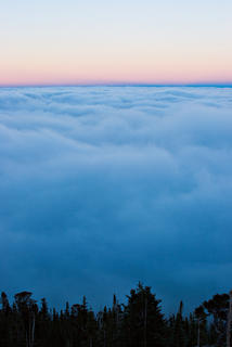
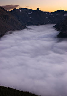
Tired of the cloud cover, I drove up toward the alpine visitor center on highway 34 near dusk. A magical scene awaited as I broke through the clouds and could see that the entire valley was beneath their cover. This picture is from the East side of the mountains.
This was the view a little further up on the western side, but looking South.
And here's an westward panoramic view (composed from four separate captures) after the sun was completely gone.
September 25 - Snowy Range, Wyoming
I arrived at Snowy Range Trail area in Wyoming just after lunch and drove up to see some of the lakes before driving back to Laramie for the night. It was very windy, cloudy and kind of cold. In fact, it hailed on me while I was hiking around - not the rock-hard hail of Missouri, but the soft fluffy kind that resembles the innards of a bean-bag chair.
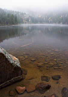
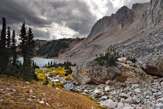
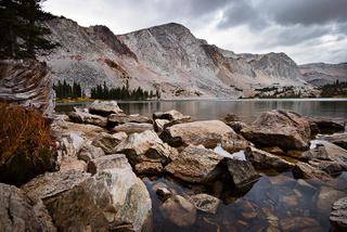
These two pictures are from Lake Marie, first from the North side, and then from the South.
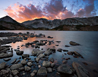
The next picture is from Libby Lake. The temperatures started to dip and the wind strengthened, picking water up off of the lake as I waited for the sun to start setting. Finally it did, and the strong gusty wind pushed wave after wave of brilliantly lit red clouds over the top of the mountains - it was quite a sight! I took around 90 pictures while the color lasted.
September 24 - Castle Rock, Kansas
I've just returned from a week of travel out West, and with 1,775 pictures to pour through, it will take a few days to get anything reasonable posted. I've decided to take it one day at a time.
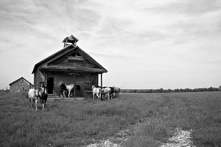
As I was heading across Kansas I saw this house full of horses and had to stop for pictures. Unfortunately, the horses started moving my way right as they saw me so I only got one good picture out of the deal.
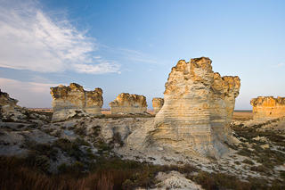
One of the goals of the day (aside from traveling a good distance into Kansas) was to stop at Castle Rocks - a local rock formation out in the middle of nowhere in Western Kansas. When I arrived, it was really windy and I was the only person around for miles in any direction (which was kind of fun). I took pictures until the sun disappeared behind some clouds.
After Castle Rocks, I was heading down a dirt road toward I-70 and the sun dropped down below the clouds for a nice sunset.
September 18 - Springfield
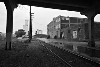
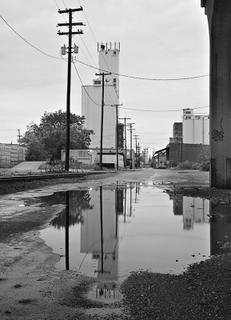
Just a quick post from two trips into town with a camera. When I woke this morning, it was raining so I headed downtown. To me, city scenes like this look so much better when it's cloudy and wet.
This was take with a really long lens that compressed the background - there must be thousands of electric and phone lines in this picture.
These first three pictures were taken from roughly the same location - here's another view.
My camera was right next to the ground for this picture to get the reflections where I wanted.
Later in the evening a few folks from the camera club met at Sequiota Park, and photographed the nearby lime processing plant (at least that's what I think it does). The image was processed with a relatively cool white point, and during its 60 second exposure a few cars found their way into the picture. This looked good in black and white, but I like the color version better.
Subscribe to:
Posts (Atom)